
A previously unknown Mayan site covering 1,683 square kilometers revealing amazing new information about the civilization of the ancient Mesoamericans has been discovered by researchers using laser technology.
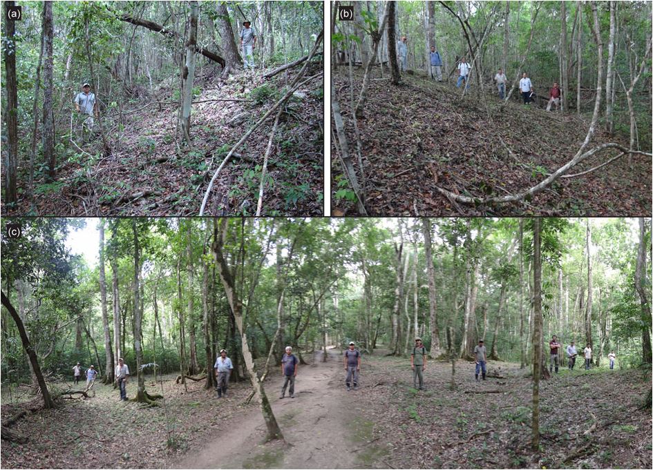
Due to the dense vegetation of the forests of northern Guatemala, hiding the ruins of thousands of years ago, scientists have not been able to fully understand the early lifestyle of the ancient civilization.
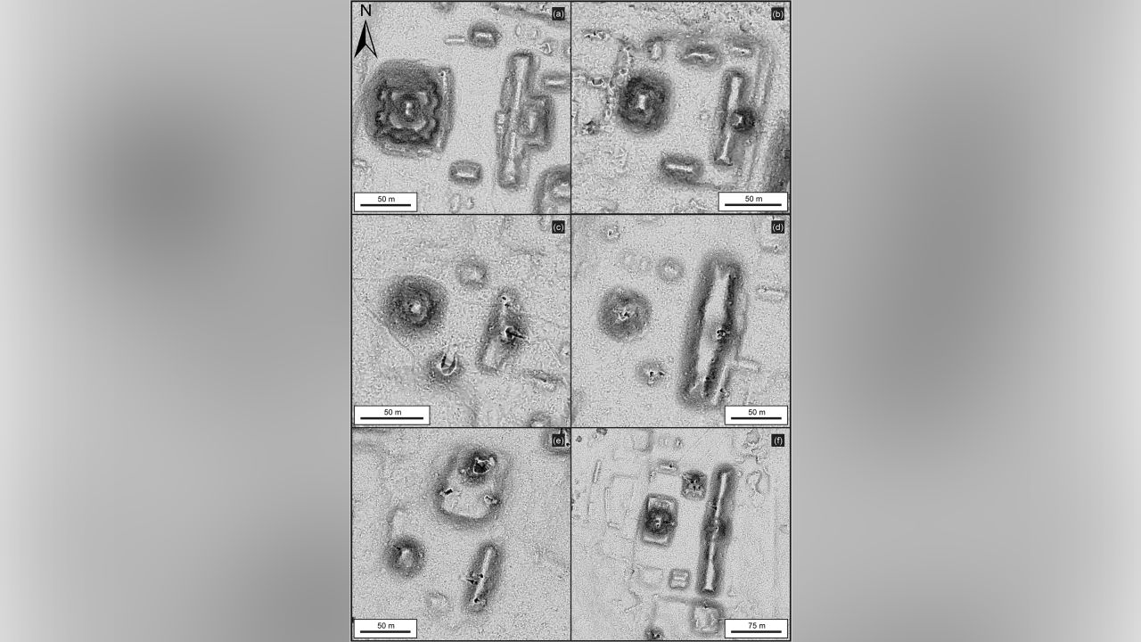
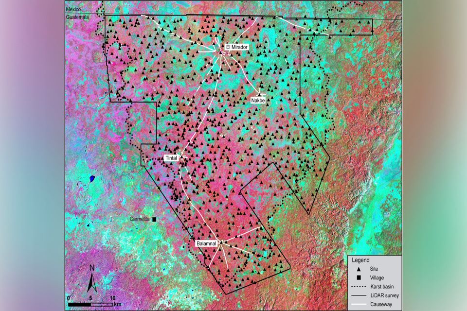
By using lidar (light detection and range, a technology that uses laser beam scanning techniques to collect high-density and accurate altitude data), the researchers were able to map a vast area in the Mirador-Calakmul karst basin in northern Guatemala.
The resulting map revealed a territory consisting of 964 settlements scattered across 417 cities, towns and villages of the Maya.
According to a recent analysis published in the journal Ancient Mesoamerica, the 177-kilometer network of elevated trails or roads connecting communities shows that the early Maya civilization was an even more complex society than previously thought.
“This is the first superhighway system in the world,” said study leader Richard Hansen, professor of anthropology at the University of Idaho. “The wonderful thing about these roads was that they connected all of these cities like a web … which constitute one of the earliest and earliest social societies in the Western Hemisphere.”
The roads, rising above seasonal swamps and dense forest vegetation, formed a “network of social, political and economic contacts” that implied “management strategies” due to the complexity of building this enterprise, the study notes.
These roads were made from a mixture of clay and stone and several layers of limestone cement. According to Hansen, the Maya probably built these elevated passageways between communities in a manner similar to that they used for their pyramids. Some of these roads were up to 40 meters wide, almost half the length of an American football field.
In their language, the Maya called the word “sachebe”, which translates as “white road”. Not without reason, of course. A thick layer of white stucco was laid on top of these flyovers, which helped improve visibility at night because the stucco reflected moonlight, Hansen explains.
“They didn’t have animals in their area… and we don’t think they had wheeled vehicles on those roads like the Romans, like chariots or anything like that, but they were definitely built for people to interact.” , socialize and probably travel between areas,” he notes. For his part, Marcelo Canuto, professor of anthropology, who was not involved in the specific study but led the past, thanks to which, again with LiDAR technology, more than 60,000 ancient Maya structures were discovered. in 2018.
These roads “are the result of the collective efforts of many people, great effort and coordination. These are complex projects that require collaboration and a certain hierarchy,” adds Canuto.
Source: CNN
Source: Kathimerini
Anna White is a journalist at 247 News Reel, where she writes on world news and current events. She is known for her insightful analysis and compelling storytelling. Anna’s articles have been widely read and shared, earning her a reputation as a talented and respected journalist. She delivers in-depth and accurate understanding of the world’s most pressing issues.