
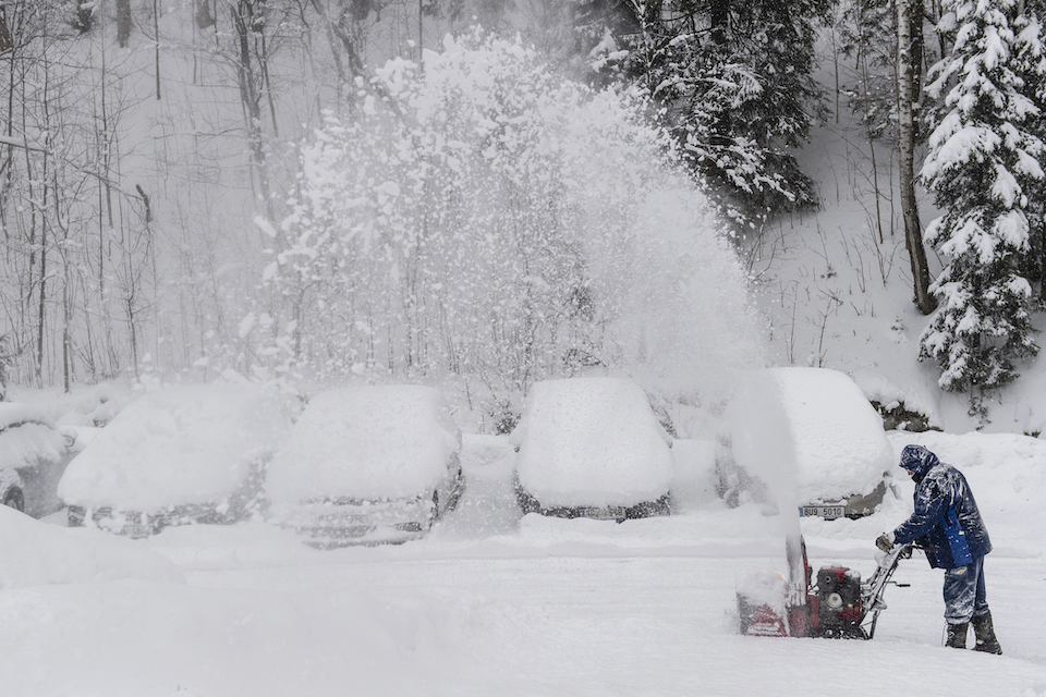
Authorities across the country are on high alert as intense events ‘rushing’ bad weather barbara.
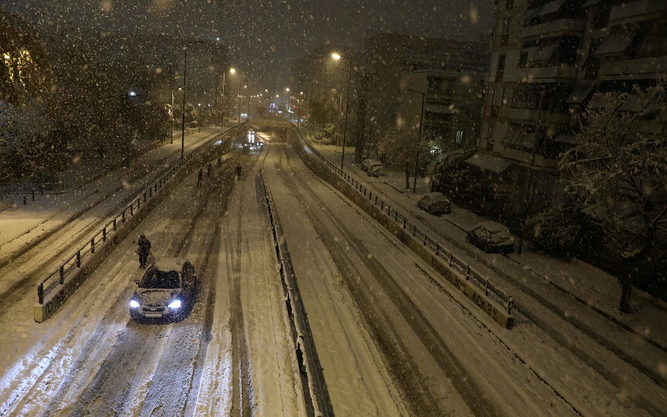
Blizzards are expected in many areas, including in the basin, according to forecasts. The 6 areas that are the focus of the first phase are: Evia, Northern Sporades, Magnesia, Phthiotis and Boeotia, and shortly before noon the snow will reach Attica.
Where and when will it snow?
1. Early in the morning on the northern islands of the Aegean Sea, Halkidiki and Thrace. Apparitions from the noon hours in Chalkidiki and Thrace will present a temporary recession.
2. From noonwill intensify and affect (and lower regions) the Sporades, Thessaly (especially eastern Magnesia), Evia and eastern Sterea.
3. From noon in the Cyclades (mainly in the mountains), as well as in the mountainous and semi-mountainous regions of Crete, where at times they will be dense.
B) On Monday (06/02/2023) occasional heavy snowfall will continue on the northern islands of the Aegean, Thrace, Sporades, Evia, eastern Steria, the Cyclades and Crete.
C) Especially for Attica, snowfall will begin from Sunday afternoon, in mountainous and semi-mountainous areas it will increase from noon, mainly in the north and east, so it will also snow in areas with lower altitudes. Overnight snowfall will show a temporary decline, and on Monday it will continue, but with less intensity.
D) Tuesday (02.07.2023) Snowfall is expected to continue in eastern Greece from Thessaly and south (windy areas), as well as in the Cyclades and Crete, but with less intensity.
EMP forecast
Sunday
ATTICA
Weather: Partly cloudy with local rain or sleet. Snowfall will begin in the morning hours in mountainous and semi-mountainous areas, and will intensify from noon, mainly in the east and north, where snow will fall in lower areas.
Winds: Northwest 5 to 6 and 7 Beaufort in places. Gradually, they will move to the NNE and locally intensify in the east to 9 points on the Beaufort scale.
Temperature: 02 to 06 degrees Celsius. In the north, 2-3 degrees lower.
THESSALONIKI
Weather: Cloudiness increased temporarily, with sleet and sleet falling in the surrounding mountains. Phenomena in the daytime will cease.
Winds: Northwest 6 to 7 Beaufort.
Temperature: From (minus one) -01 to 04 degrees Celsius.
MACEDONIA, THRACY
Weather: Cloudy with sleet and snow in the mountains and semi-mountains. The phenomena in Halkidiki and Thrace will be strong in some places until noon, while they will end in the late afternoon in western and central Macedonia.
Winds: in western and central Macedonia north-northwest from 5 to 7 points on the Beaufort scale, in other areas north-northeast with the same strength and in some areas of the sea up to 8 points on the Beaufort scale.
Temperature: From (minus two) -02 to 05 degrees Celsius. In western Macedonia it is 3-4 degrees lower.
IONIC ISLANDS, EPIROS, WESTERN MAIN, WESTERN PELOPONNISE
Weather: Temporarily overcast with local rainfall, mainly in the Ionian Islands and western Peloponnese. Temporary snowfalls will take place in the early morning hours in the continental highlands, as well as in the semi-mountainous regions of Epirus and the western part of the mainland.
Winds: Northerly 4 to 6 and in the Ionian Sea 7 to 8 Beaufort in places, with gradual weakening in the afternoon.
Temperature: 03 to 10 degrees Celsius. In the interior of Epirus, it is 3–4 degrees lower.
THESSALIA, EASTERN CONTINENT, EASTERN PELOPONNISE
Weather: Highly cloudy with local showers or sleet and sleet in the continental highlands and semi-mountains of Thessaly and eastern Sterea. Snowfall from the midday hours will increase and affect (and areas of lower altitude) Sporades, Thessaly (mainly eastern Magnesia) and eastern Sterea, where in Boeotia they will also spread to low-lying areas.
Winds: Northwest 5 to 7 and east 8 in places on the Beaufort scale. They will gradually turn to the north-northeast and locally intensify to the east and south to 9 on the Beaufort scale.
Temperature: 01 to 08 degrees Celsius. In the north, 2-3 degrees lower.
CYCLADES, CRETE
Weather: Partly cloudy with local showers and sporadic thunderstorms. Snowfall will occur in the afternoon in the mountains, mainly in the northern Cyclades (mainly in the mountains), as well as in the mountainous and semi-mountainous regions of Crete, where snowfall will be heavy at times.
Wind: West NW from 5 to 7 on the Beaufort scale, which will gradually change to the north-northeast and increase to 8-9 on the Beaufort scale.
Temperature: 05 to 10 degrees Celsius.
EAST AEGEAN ISLANDS – DODECANIS
Weather: Cloudy with occasional showers and occasional thunderstorms. At night, the phenomena will be limited to the south. Heavy snowfall in places will pass from early morning in the north.
Wind: North-northeast 6 to 8 Beaufort, gradually increasing in places to 9 Beaufort. In the south-northwest from 4 to 6 Beaufort, which will gradually turn to the north-northeast from 7 to 8, and in places 9 Beaufort.
Temperature: 04 to 12 degrees Celsius. In the north, 3-4 degrees lower.
EUBEA
Weather: Partly cloudy with local rain or sleet and possible scattered thunderstorms. Snowfall will initially occur in mountainous and semi-mountainous areas, and will intensify from noon and spread to lower highland areas.
Winds: Northwest 6 to 8 Beaufort. Gradually, they will turn into NNE and locally increase in the south to 9 points on the Beaufort scale.
Temperature: From 00 (zero) to 05 degrees Celsius.
Monday
Cloudiness with snow has increased in eastern Macedonia, Thrace, the islands of the northern and eastern Aegean, Sporades, Evia, eastern and southern parts of Thessaly, eastern Sterea, including Attica, the Cyclades and Crete, while rain and localized storms will occur to the South Sea and coastal areas. Snow will fall intermittently in mountainous and semi-mountainous regions, as well as in the lower highlands of Evia, eastern Sterea, the islands of the northern Aegean, Sporades and Crete.
In other areas, there will be some cloudiness, which will gradually increase, and at night in the mountains of the Peloponnese, light snow may fall.
Winds will blow from the north, 6 to 7 in the east and 8 to 9 Beaufort in the Aegean and 4 to 6 Beaufort in the west.
The temperature will drop slightly, and the maximum temperature will not exceed 6-7 degrees Celsius in the east of the mainland and 8-10 degrees Celsius in the west of the mainland and on the islands. In the continental regions, frosts are observed in the morning and evening hours, in the west, in the center and in the north, they are strong in places.
Tuesday
In the east of the mainland, Evia, Sporades, the islands of the northern and eastern Aegean, the Cyclades and Crete, increased cloudiness with sleet or rain in the southern sea and coastal areas. Snow will fall in the mountainous and semi-mountainous regions and temporarily in the lower highlands of eastern Thessaly, eastern Sterea, Evia, Sporades and Crete. The weakening of phenomena is expected from noon.
In other areas, slightly cloudy increased temporarily.
The wind will blow in the east northeast from 5 to 7 points, and in the Aegean Sea temporarily in the morning 8 points on the Beaufort scale and in the west from east to northeast from 4 to 5 points on the Beaufort scale.
The temperature will not change significantly and will remain below the seasonal norm. In continental regions, frosts are observed in the morning and evening hours, in the west, in the center and in the north, they are strong in places.
Wednesday
There are few clouds in the west and north, which will gradually increase in the west, and there may be some snow in the highlands of Epirus, western Sterea and the Peloponnese. In other areas, cloudiness with local rains or sleet on the plains and coastal areas, and snowfalls will take place in the mountainous semi-mountainous regions and, possibly, temporarily in the lower mountainous regions of the eastern part of the mainland.
The wind will blow in the east northeast from 5 to 7 points, and in the Aegean Sea temporarily in the morning 8 points on the Beaufort scale and in the west from east to northeast from 4 to 5 points on the Beaufort scale.
The temperature will not change significantly and will remain below the seasonal norm. Frosts will be observed in the continental regions in the morning and evening hours, and severe in some places in the mountains.
Source: Kathimerini
Ashley Bailey is a talented author and journalist known for her writing on trending topics. Currently working at 247 news reel, she brings readers fresh perspectives on current issues. With her well-researched and thought-provoking articles, she captures the zeitgeist and stays ahead of the latest trends. Ashley’s writing is a must-read for anyone interested in staying up-to-date with the latest developments.